GPS-Global Positioning System
GIS-Geographic Information Systems
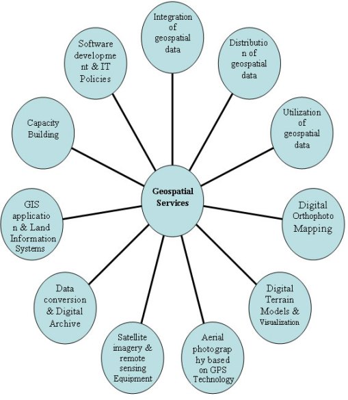
Geographic information is critical in promoting social and economic development and protecting the environment. Syecomp Ltd assists in the creation of spatial data to facilitate support of public and private applications. Our concept enhances the acquisition, distribution and utilization of geospatial data. The mindmap illustrate our services:
At Syecomp Ltd, we demonstrate adeptness in
- GIS application and spatial data analysis
- mapping techniques
- Image processing knowledge
- Good communication, report-writing and presentation skills
We conduct field GPS mapping projects and or supervision of all kinds ranging from point feature mapping (Office branches, Points of Interests, etc), line feature mapping (Road and route mapping) to polygon feature mapping (farm mapping, property mapping, etc) using the very best of GPS devices in the market and very competent and experienced technical staff.
With over 5 years experience in GPS mapping across the country we have in-depth knowledge regarding the nature of terrains and suitable times to carry out GPS mapping and obtain very reliable results.
Among major GPS mapping projects undertaken can be seen here
We train also in the use of GPS and questionnaire administration for field mapping purposes. For customised training services, contact the Chief Operations Manager
GIS Application Development and Customization
With a wide range of GIS software and hardware available, users often are often confused which one to choose and which functionalities to go for. In view of such difficulties by non-expects, we offer the following services in this regard to clients:
Setting up GIS systems for institutions
We recommend appropriate GIS hardware and software specifications to adopt and further assist with installation and configuration of these software and devices. We offer training of relevant personnel in the use and maintenance of the setup as well as recommending appropriate integration techniques of GIS system within existing IT-Infrastructure.
Development of GIS-Based Application
We recognize the varying needs of institutions in applying GIS to their day-to-day operations and hence develop customized GIS-based applications to be integrated into company’s existing workflow.
GIS Database Development
We help to translate conceptual database design into actual database implementation. We aid you to select the right RDMS (Relational Database Management System) and the designing of relevant data capturing technique to acquire data for the database.
We conduct GIS data validation exercises on acquired data and offer relevant data processing to enable database generate required outputs which are in most cases well-composed maps in digital and hardcopy formats.
